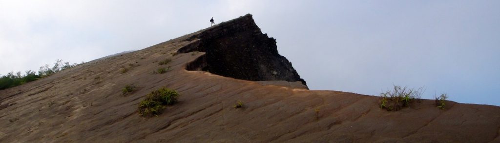
Kelimutu (Inspiration Point)
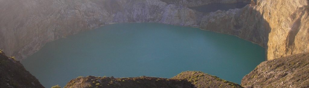
Facts Elevation: 1,647 m (5,404 ft) Prominence: 48 m Ribu category: Spesial Province: Nusa Tenggara Timur Google Earth: kml Rating: Other names: none Eruptions: 1865, 1938, 1968 Photos Bagging It! Famous for its three exotic coloured lakes, Kelimutu is the most famous natural tourist attraction on the island of Flores, apart from the staggering beauty […]
Kelimutu (Inspiration Point) Read More »