Sabampolulu
GUNUNG SABAMPOLULU
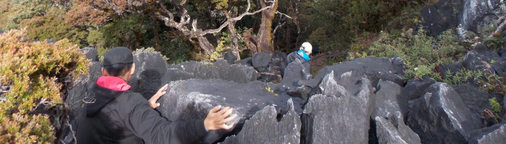
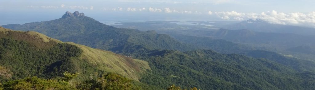
This beautiful mountain is the highest point of Kabaena island and is probably the second-most popular hike in the province of Southeast Sulawesi. It takes a long time to get to from major cities but has some of the nicest scenery in all of Sulawesi.