Kurang Tinggi

Cabang

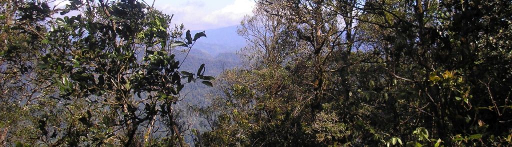
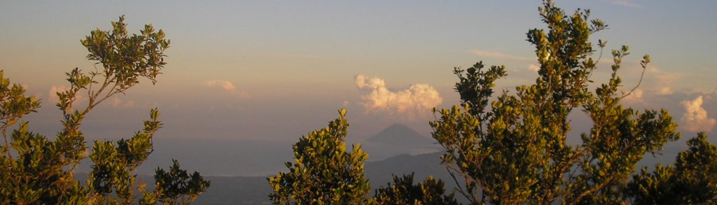
Facts Elevation: 1,030 m (3,379 ft) Prominence: 1,030 m Ribu category: Kurang Tinggi Province: Kalimantan Barat (West Kalimantan) Google Earth: kml Rating: Other names: none Photos Bagging It! Gunung Cabang is the highest point on the island of Karimata which lies to the southwest of mainland Kalimantan. Practicalities Getting there: Public ferry from Pontianak and […]

Cabang Read More »

Egon

Facts Elevation: 1,708 m (5,604 ft) Prominence: 1,453 m Ribu category: Kurang Tinggi Province: Nusa Tenggara Timur Google Earth: kml Rating: Other names: Namang Eruptions: 1888-92, 2004, 2008 Photos Bagging It! Egon is a very active volcano and is one of the most popular hikes on Flores. The last major eruption was in 2008 and

Egon Read More »

Lewotolo

Facts Elevation: 1,455 m (4,774 ft) Prominence: 1,421 m Ribu category: Kurang Tinggi Province: Nusa Tenggara Timur Google Earth: kml Rating: Other names: Ile Ape, Lewotolok Eruptions: 1660, 1819, 1849, 1852, 1864, 1899, 1920, 1951, 2020, 2022-23 Photos Bagging It! Gunung Lewotolo (AKA Ile Api) is by far the best-known peak on the island of

Lewotolo Read More »

Batui

Facts Elevation: 1,930 m (6,332 ft) Prominence: 1,199 m Ribu category: Kurang Tinggi Province: Sulawesi Tengah (Central Sulawesi) Google Earth: kml Rating: Other names: none. Bagging It! We currently know very little about this peak – please contact us if you can provide any information. Practicalities Getting there: Unknown. Accommodation: Unknown. Permits: Unknown. Water sources:

Batui Read More »

Ili Boleng

You get your first view of this volcano as the ferry from Larantuka rounds the southwest tip of Adonara – there it is, a fine 1,661m cone looming over this little-visited island just east of Flores. The peak makes an excellent day hike, and the views over the surrounding small islands are fantastic, writes Tim Hannigan.

Ili Boleng Read More »

Ili Labalekang

Facts Elevation: 1,621 m (5,318 ft) Prominence: 1,621 m Ribu category: Kurang Tinggi Province: Nusa Tenggara Timur Google Earth: kml Rating: Other names: Ililabalekan Photos Bagging It! This mountain is the highest peak on the island of Lembata but it is very rarely climbed, even by local people. Its name is almost definitely a different

Ili Labalekang Read More »

Bukit Buru

Facts Elevation: 1,322 m (4,337 ft) Prominence: 1,207 m Ribu category: Kurang Tinggi Province: Papua Google Earth: kml Rating: Other names: none Bagging It! We currently know very little about this peak – please contact us if you can provide any information. Practicalities Getting there: Unknown Accommodation: Unknown Permits: Unknown Water sources: Unknown Local Average

Bukit Buru Read More »

Halimun (North)

Facts Elevation: 1,929 m (6,329 ft) Prominence: 938 m Ribu category: Spesial Province: Banten Google Earth: kml Rating: Other names: none Photos Bagging It! Mount Halimun is surrounded by the largest area of unspoilt rainforest in Java and the summit of the range (Halimun Utara – ‘Halimun North’) unsurprisingly lies within Gunung Halimun-Salak National Park.

Halimun (North) Read More »

Dapi

Facts Elevation: 1,694 m (5,558 ft) Prominence: 1,167 m Ribu category: Kurang Tinggi Province: Gorontalo Google Earth: kml Rating: Other names: none Bagging It! We currently know very little about this peak – please contact us if you can provide any information. Practicalities Getting there: Coming soon Accommodation: Coming soon Permits: Coming soon Water sources:

Dapi Read More »

Klabat

The highest peak in North Sulawesi province and a popular hike for local residents, including from the adjacent Gorontalo province. It is also popular with tourists who want a different challenge after diving around Bunaken or the Lembeh Strait. Mount Klabat is very accessible; it is only 1 hour drive from Manado along the main road towards Bitung by car, and there are regular buses.

Klabat Read More »

Scroll to Top