Kurang Tinggi

Rajabasa

RAJABASA

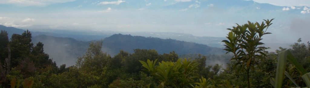
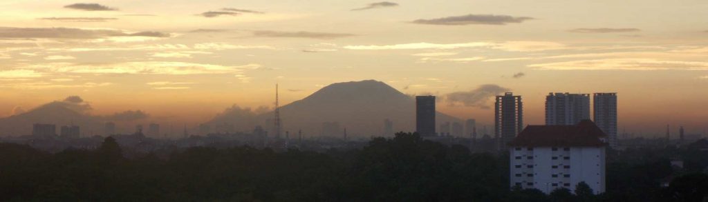
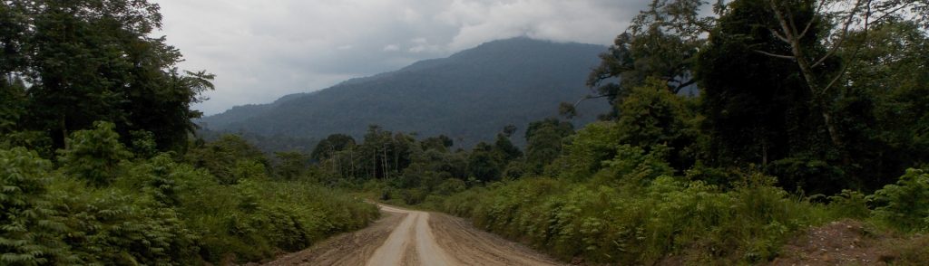
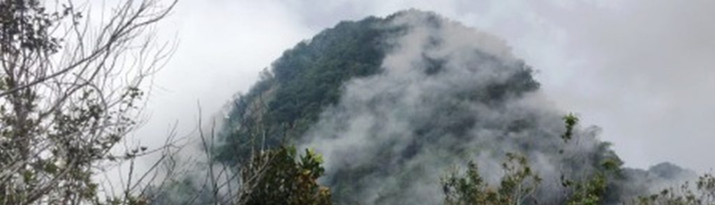
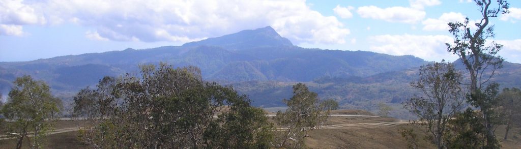
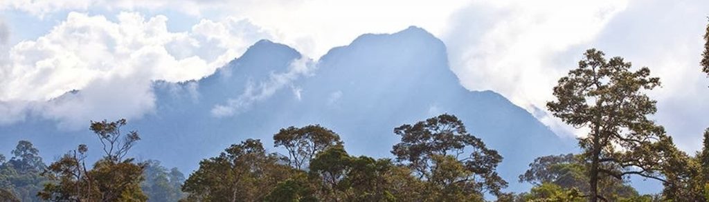
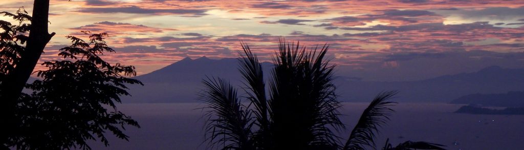
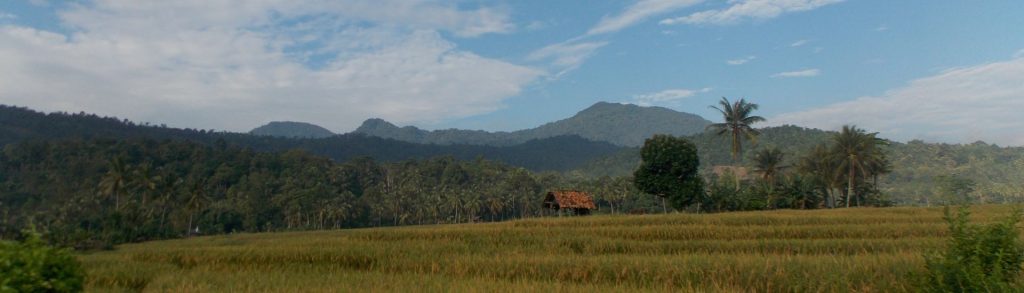
Gunung Rajabasa is the southernmost Ribu on the island of Sumatra and, as such, is easily accessible from Jakarta in a weekend. Because of its low height it is unfairly overlooked by many hiking clubs, but this is a positive thing because it means that the forest is still full of wildlife and there is little litter or noise or trail erosion here! Not yet anyway, so enjoy it while you can!

Rajabasa Read More »

Sidole

SIDOLE

Gunung Sidole is the highest point of a long mountain range which stretches northwards from the city of Palu. These hills are densely-forested ridges with a remote atmosphere, yet this is the narrowest part of the island of Sulawesi, with less than 30 kilometres from west coast to east coast. Views to both coasts can be enjoyed from the summit of Gunung Sidole, and the trail is becoming increasingly popular.

Sidole Read More »

Karang

KARANG

After Gunung Halimun which borders West Java, Gunung Karang is the highest peak in Banten. There are two separate trails on the mountain both of which can be done as half-day hikes. The first leads to the forested summit with a mosque on top, and the second leads to a rarely-visited crater area.

Karang Read More »

Beratus

BERATUS

On the map, Gunung Beratus is Balikpapan’s local mountain, lying just 60km away inland from this large city. However, what appears to be one of Borneo’s most accessible Ribus currently remains rather more complicated in reality. This is remote forest currently rarely-visited by hiking groups.

Beratus Read More »

Ili Wukoh

ILI WUKOH

Ili Wukoh in Flores is a mystical mountain with much folklore from animistic times that still seems to influence the lives of the villagers. Like Lewotobi, its two peaks, Wukoh and Ledo, are considered as ‘husband and wife’. We learned something of the mysticism surrounding this mountain from Hewa villagers during our trek.

Ili Wukoh Read More »

Fatu Timau

Fatu Timau is a beautiful little mountain that appears pyramid-shaped from many angles. It’s one of the easiest Ribus to bag as its only about 400 metres from the carpark to the summit. Unlike most mountains in Indonesia, that are volcanic, mountains in Timor are non-volcanic. Few foreigners and even locals visit this area so don’t be surprised if they are bemused to see you!

Fatu Timau Read More »

Kongpas

Facts Elevation: 1,516 m (4,974 ft) Prominence: 1,139 m Ribu category: Kurang Tinggi Province: Kalimantan Timur (East Kalimantan) Google Earth: kml Rating: Other names: Guguang, Gay Photos Bagging It! According to Nepenthes expert Alastair Robinson, the mountain is ‘called Gunung Guguang or Gunung Gay depending on who you talk to. There are two adjacent peaks in

Kongpas Read More »

Matabulawa

Facts Elevation: 1,964 m (6,444 ft) Prominence: 1,756 m Ribu category: Kurang Tinggi Province: Sulawesi Utara (North Sulawesi) Google Earth: kml Rating: Other names: none. Bagging It! Huidu Matabulawa (1,964m) on the Bakosurtanal map. We currently know very little about this peak – please contact us if you can provide any information. Practicalities Getting there:

Matabulawa Read More »

Pesawaran (Ratai)

The large, forested Pesawaran – Ratai mountain range lies to the southwest of Bandar Lampung yet it is very rarely climbed by hikers – our trip here was the first since 2007! From the summit ridge of the highest peak Ratai there are excellent views to surrounding forest and the Lampung coastline and you will almost certainly hear the calls of siamangs who live in this remarkably wild area.

Pesawaran (Ratai) Read More »

Dolok Gongonan

Facts Elevation: 1,440 m (4,724 ft) Prominence: 1,051 m Ribu category: Kurang Tinggi Province: Sumatera Utara (North Sumatra) Google Earth: kml Rating: Other names: none Bagging It! This mountain covers a vast area and is very rarely hiked. There are two peaks of around or over 1,400m elevation about 5 kilometres apart. The southern one

Dolok Gongonan Read More »

Scroll to Top