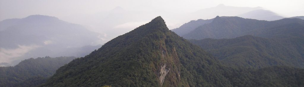
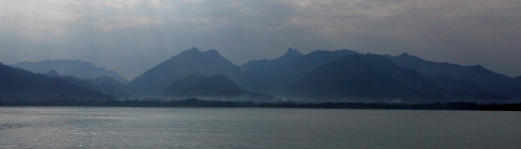
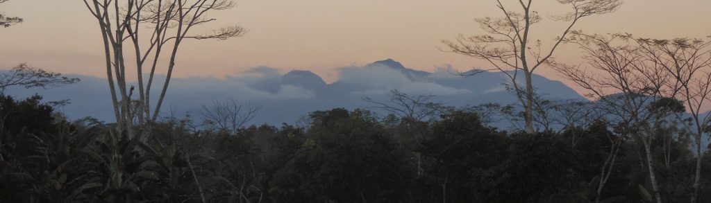
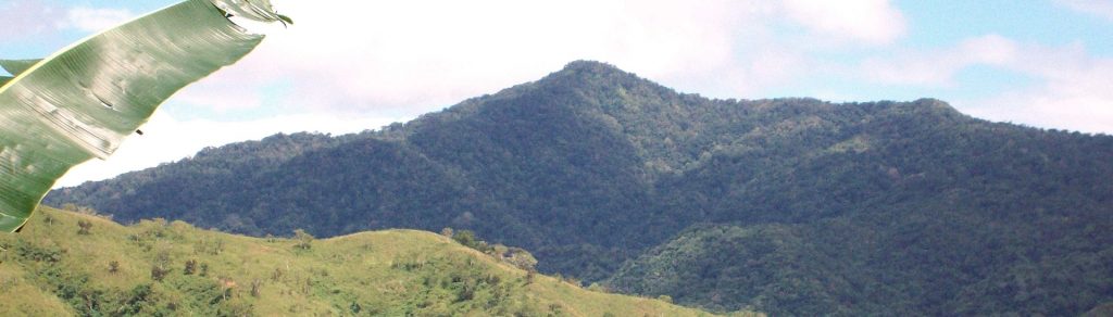
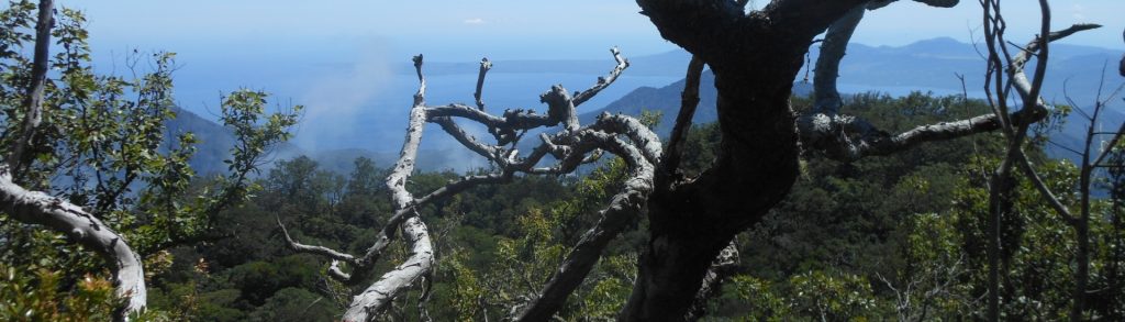
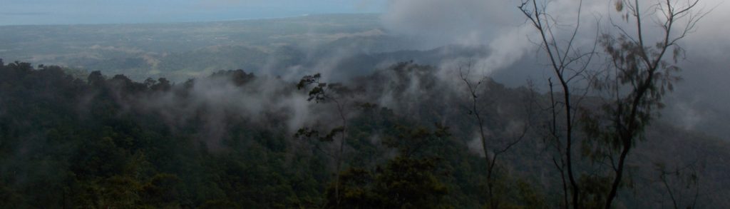
Kurang Tinggi

Tompotika

Facts Elevation: 1,540 m (5,052 ft) Prominence: 1,319 m Ribu category: Kurang Tinggi Province: Sulawesi Tengah (Central Sulawesi) Google Earth: kml Rating: Other names: Summit name Bungkutnyo Seasea. Photos Bagging It! Gunung Tompotika is the highest mountain in the Tompotika Peninsula – a remote part of Central Sulawesi. It gives its name to the Luwuk-based […]

Tompotika Read More »

Besar (Halau Halau)

Gunung Besar is the highest peak in the Meratus mountain range and the highest peak in South Kalimantan. Being relatively close to Banjarmasin, it is also one of Kalimantan’s most accessible Ribus. Even better, it is quite unlike most other jungle-clad peaks in Borneo because the summit actually offers fabulous views over the surrounding forests.

Besar (Halau Halau) Read More »

Loku

Facts Elevation: 1,135 m (3,724 ft) Prominence: 1,135 m Ribu category: Kurang Tinggi Province: Maluku Utara (North Moluccas) Google Earth: kml Rating: Other names: ‘Gunung Loko’ on the Bakosurtanal map. Bagging It! This peak is the highest point on the island of Mangoli/Mangole. The Bakosurtanal map lists the peak as 1,135m high and spelt ‘Loko’.

Loku Read More »

Rogirogi

Facts Elevation: 1,250 m (4,101 ft) Prominence: 1,092 m Ribu category: Kurang Tinggi Province: Maluku Utara (North Moluccas) Google Earth: kml Rating: Other names: Uwatcain, Bukit Oewattjain, Bukit Uwattjain Bagging It! We currently know very little about this peak – please contact us if you can provide any information. The US Army map lists this

Rogirogi Read More »

Beturan

Facts Elevation: 1,577 m (5,174 ft) Prominence: 1,369 m Ribu category: Kurang Tinggi Province: Kalimantan Barat (West Kalimantan) Google Earth: kml Rating: Other names: none Bagging It! We currently know very little about this peak – please contact us if you can provide any information. Practicalities Getting there: Unknown Accommodation: Unknown Permits: Unknown Water sources:

Beturan Read More »

Berangin

Facts Elevation: 1,644 m (5,394 ft) Prominence: 1,315 m Ribu category: Kurang Tinggi Province: Kalimantan Barat (West Kalimantan) Google Earth: kml Rating: Other names: none Bagging It! We currently know very little about this peak – please contact us if you can provide any information. Practicalities Getting there: Unknown Accommodation: Unknown Permits: Unknown Water sources:

Berangin Read More »

Daik

Facts Elevation: 1,165 m (3,822 ft) Prominence: 1,165 m Ribu category: Kurang Tinggi Province: Kepulauan Riau (Riau Islands) Google Earth: kml Rating: Other names: none Photos Bagging It! Gunung Daik is the highest point of Lingga island off the east coast of Sumatra. It is a very striking mountain, with two jagged peaks and a

Daik Read More »

Curunumbeng

Facts Elevation: 1,992 m (6,535 ft) Prominence: 1,065 m Ribu category: Kurang Tinggi Province: Nusa Tenggara Timur Google Earth: kml Rating: Other names: Poco Mblek, Poco Desu Photos Bagging It! Curunumbeng is one of the most mysterious and little-known mountain peaks in Flores. Even the name is largely unrecognized by locals and may actually refer

Curunumbeng Read More »

Wanggameti

Gunung Wanggameti is the highest point on the island of Sumba and lies within the Laiwangi Wanggameti National Park which was designated in 1998. It is the most southerly Ribu, and therefore one of the closest to Australia (roughly 700km away). The mountain is just one extra reason to visit what is one of Indonesia’s most unique and fascinating islands.

Wanggameti Read More »

Ili Mandiri

Facts Elevation: 1,484 m (4,869 ft) Prominence: 1,401 m Ribu category: Kurang Tinggi Province: Nusa Tenggara Timur Google Earth: kml Rating: Other names: none Photos Bagging It! Ili Mandiri is well-known in the area, providing the delightful backdrop to the port town of Larantuka, but it is not often climbed. Due to how infrequently they

Ili Mandiri Read More »

Scroll to Top