Irau (Malaysia)
IRAU
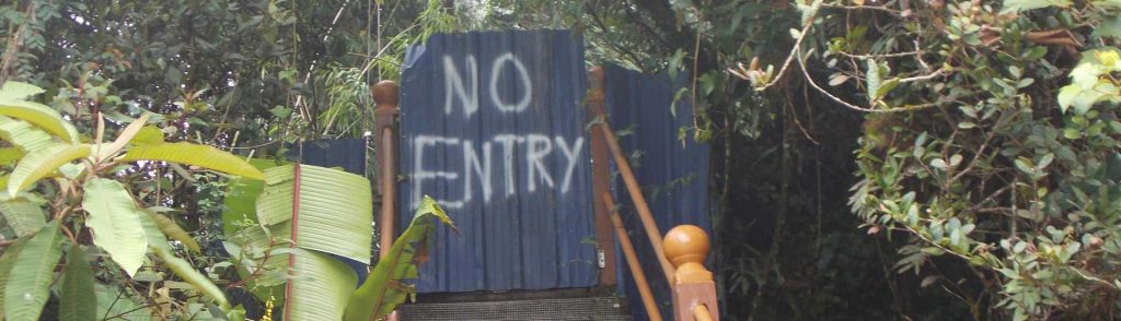
Gunung Irau is the highest peak in the popular Cameron Highlands, a plateau developed in the 1930s and named after Scottish geologist William Cameron who first surveyed the area in 1885.
Gunung Irau is the highest peak in the popular Cameron Highlands, a plateau developed in the 1930s and named after Scottish geologist William Cameron who first surveyed the area in 1885.
Facts Elevation: 2,161 m (7,090 ft) Prominence: 775 m Ribu category: Spesial Province: Peninsular Malaysia Malaysian state: on the border of Kelantan and Perak Range: Banjaran Titiwangsa / Main Range Google Earth: kml Rating: Other names: Hulu Sepat Bagging It! This mountain is rather remote and is located in Hutan Belum. Orang Asli villages are common
Facts Elevation: 1,193 m (3,914 ft) Prominence: 790 m Ribu category: Spesial Province: Peninsular Malaysia Malaysian state: Negeri Sembilan Range: Banjaran Titiwangsa / Main Range Google Earth: kml Rating: Other names: Also spelt ‘Telapak Burok’. Bagging It! The curiously-named Gunung Telapak Buruk, meaning Rotten Palms or Bad Palms Mountain (either hand palms or the soles
Facts Elevation: 2,168 m (7,113 ft) Prominence: 638 m Ribu category: Spesial Province: Peninsular Malaysia Malaysian state: on the border of Kelantan and Perak Range: Banjaran Titiwangsa / Main Range Google Earth: kml Rating: Other names: none. Photos Bagging It! Gunung Yong Yap is considered to be one of the tougher treks in Peninsular Malaysia, with
Facts Elevation: 1,685 m (5,528 ft) Prominence: 525 m Ribu category: Spesial Province: Peninsular Malaysia Malaysian state: on the border of Selangor and Pahang Range: Banjaran Titiwangsa / Main Range Google Earth kml Rating: Other names: none. Bagging It! Gunung Rajah is part of the same section of the Titiwangsa mountains – or Main Range –
Facts Elevation: 1,581 m (5,187 ft) Prominence: 701 m Ribu category: Spesial Province: Sabah (Malaysia) Division: Bahagian Pantai Barat Google Earth: kml Rating: Other names: none. Photos Bagging It! Gunung Mantapok is one of Sabah’s finest and most memorable mountain treks. It is located very close to a higher peak, Gunung Monkobo, which does not yet
Facts Elevation: 1,070 m (3,510 ft) Prominence: 302 m Ribu category: Spesial Province: Peninsular Malaysia Malaysian state: Selangor Range: Banjaran Titiwangsa / Main Range Google Earth: kml Rating: Other names: Formerly known as ‘Treacher Hill’. Photos Bagging It! Bukit Kutu is one of the most popular hikes near Kuala Lumpur and used to be a
Facts Elevation: 1,448 m (4,751 ft) Prominence: 892 m Ribu category: Spesial Province: Peninsular Malaysia Malaysian state: Perak Range: Banjaran Bintang Google Earth: kml Rating: Other names: Formerly known as ‘Maxwell Hill’. Photos Bagging It! Bukit Larut – or Maxwell Hill, as it was originally known – was founded by the British as a hill
Bukit Larut (Gunung Hijau) Read More »
Facts Elevation: 2,081 m (6,827 ft) Prominence: 960 m Ribu category: Spesial Province: Sabah (Malaysia) Range: Banjaran Crocker Division: Bahagian Pantai Barat and Pedalaman Google Earth: kml Rating: Other names: none. Bagging It! Coming soon Minduk Sirung is the highest peak within the Crocker Range National Park and is most commonly hiked via Gunung Alab
Facts Elevation: 1,652 m (5,420 ft) Prominence: 621 m Ribu category: Spesial Province: Sabah (Malaysia) Range: Banjaran Crocker Division: Bahagian Pantai Barat Google Earth: kml Rating: Other names: none. Photos Bagging It! Gunung Nungkok is known to locals as the ‘child of Kinabalu’ and although it is very small compared to its huge parent it