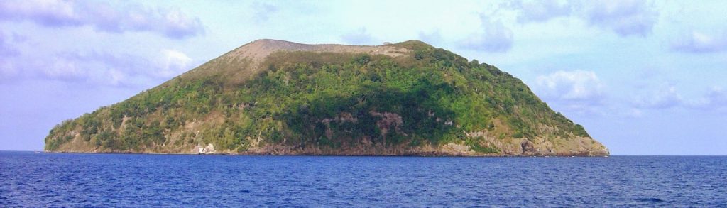
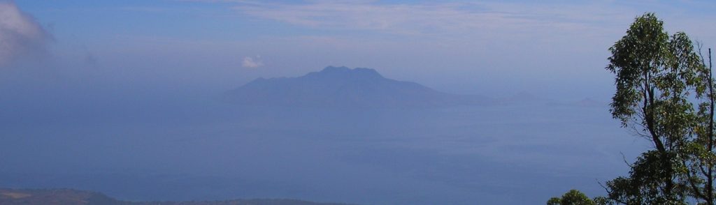
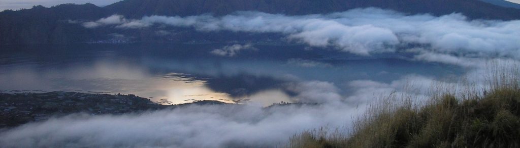
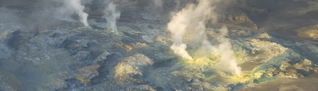
Spesial

Guntur (Masigit)

Facts Elevation: 2,249 m (7,379 ft) Prominence: 758 m Ribu category: Spesial Province: Jawa Barat (West Java) Google Earth: kml Rating: Other names: none. Eruptions: 1690, 1777, 1780, 1800, 1803, 1807, 1809, 1815-16, 1818, 1825, 1827-29, 1832-36, 1840-41, 1843, 1847 Photos Bagging It! This vast volcanic range towers above the popular weekend destination of Cipanas, […]

Guntur (Masigit) Read More »

Manuk

Facts Elevation: 282 m (925 ft) Prominence: 282 m Ribu category: Spesial Province: Maluku (Moluccas) Google Earth: kml Rating: Other names: none Photos Bagging It! The small steep-sided island of Manuk is the easternmost volcano in the arcuate Banda volcanic arc. The 282-m-high truncated andesitic cone rises 3000 m from the sea floor. No confirmed

Manuk Read More »

Laworkawra

Facts Elevation: 781 m (2,562 ft) Prominence: 781 m Ribu category: Spesial Province: Maluku (Moluccas) Google Earth: kml Rating: Other names: Nila Eruptions: 1903, 1932, 1964, 1968 Photos Bagging It! The 5 x 6 km Nila Island in the Banda Sea is comprised of a low-rimmed caldera whose rim is breached at sea level on

Laworkawra Read More »

Serawerna

Facts Elevation: 655 m (2,149 ft) Prominence: 655 m Ribu category: Spesial Province: Maluku (Moluccas) Google Earth: kml Rating: Other names: Teon, Teun Eruptions: 1659-60, 1663, 1693, 1904 Bagging It! Teon, an elongated island in the southwestern Banda arc, is also known as Serawerna, the name of its active crater. Another smaller crater is located

Serawerna Read More »

Gunungapi Wetar

Facts Elevation: 282 m (925 ft) Prominence: 282 m Ribu category: Spesial Province: Maluku (Moluccas) Google Earth: kml Rating: Other names: none Eruptions: 1512, 1699 Bagging It! Gunungapi Wetar volcano forms an isolated island in the Banda Sea north of Wetar Island. The small circular island reaches only 282 m above the sea surface but

Gunungapi Wetar Read More »

Pulau Besar

Facts Elevation: 913 m (2,995 ft) Prominence: 913 m Ribu category: Spesial Province: Nusa Tenggara Timur Google Earth: kml Rating: Other names: Wolong Ladauneng Photos Bagging It! This peak is the highest point of a large island in Maumere Bay. The Bakosurtanal map lists the name of the summit at Wolong Ladauneng with a height

Pulau Besar Read More »

Batur

Facts Elevation: 1,717 m (5,633 ft) Prominence: 461 m Ribu category: Spesial Province: Bali Google Earth: kml Rating: Other names: none Eruptions: 1804, 1821, 1849, 1854, 1888, 1897, 1904, 1921-22, 1924-26, 1963-66, 1968, 1970-74, 1994, 1998-2000 Photos Bagging It! The mountainous region around Kintamani, centering around the spectacular volcanic caldera of Mt. Batur with its

Batur Read More »

Wuarlapna

Facts Elevation: 641 m (2,103 ft) Prominence: 641 m Ribu category: Spesial Province: Maluku (Moluccas) Google Earth: kml Rating: Other names: Serua Eruptions: 1683, 1687, 1693-94, 1844-46, 1858-59, 1919, 1921 Photos Bagging It! The small 2 x 4 km island of Serua is the emergent summit of a volcano rising 3600 m above the Banda

Wuarlapna Read More »

Bukiri Kalongan

Facts Elevation: 786 m (2,579 ft) Prominence: 786 m Ribu category: Spesial Province: Sulawesi Utara (North Sulawesi) Google Earth: kml Rating: Other names: Siwoge Photos Bagging It! This is the highest point of the island of Tagulandang (in the Sangihe islands) and is the dormant remains of an old volcano crater rim. In 2017 we

Bukiri Kalongan Read More »

Kaba

Considering how accessible Gunung Kaba is, it is remarkable that it isn’t one of Sumatra’s most famous natural attractions. Not only is it reachable on a regular weekend from Jakarta (via a flight to Bengkulu) and close to a lovely hotel, there is also a narrow asphalt track up the mountainside followed by a couple of hundred steps up to the spectacular volcanic scenery that awaits on the crater rim. Given just how stunning the panorama is and how little effort is required to reap such a reward, it really doesn’t get any easier than this!

Kaba Read More »

Scroll to Top