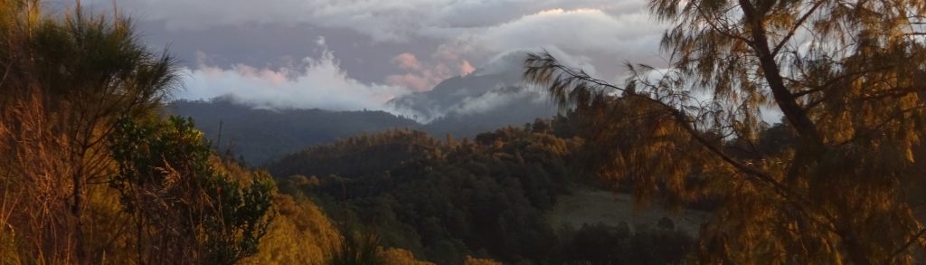
Tinggi Sedang

Chamah

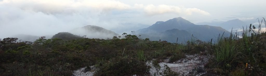
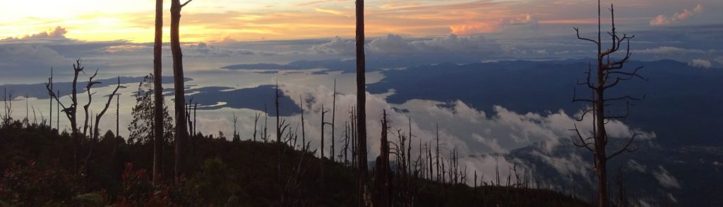
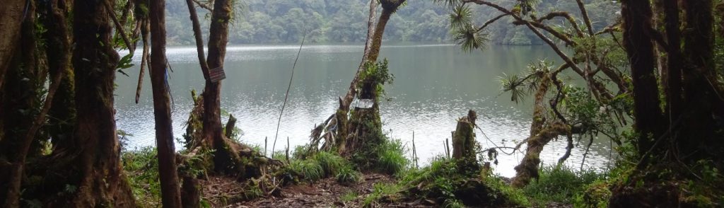
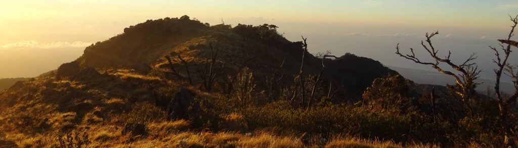
Facts Elevation: 2,171 m (7,123 ft) Prominence: 1,041 m Ribu category: Tinggi Sedang Province: Peninsular Malaysia Malaysian state: Kelantan Range: Banjaran Titiwangsa / Main Range Google Earth: kml Rating: Other names: none. Bagging It! From the trailhead at Pos Simpoh (820m) to Kampung Rekom (910m, an Orang Asli village) takes 4 hours, a further one […]

Chamah Read More »

Benum

Facts Bagging It! Gunung Benum is a huge mountain massif all of its own, quite separate from other ranges. Despite only being around 3 hours from Kuala Lumpur, Benum doesn’t see as many hikers as might be expected. It can be hiked from Lata Berembun (Sungai Klau near Raub) in 2/3 days or Ulu Cheka

Benum Read More »

Tahan

TAHAN

At 2,187m, Gunung Tahan is the highest peak in Peninsular Malaysia and is located in the Taman Negara National Park. It is also the highest peak in the Tenasserim Hills chain (Banjaran Tanah Seri), a 1,700 kilometre-long granite ridge older than the Himalayas which runs all the way down from mid-Thailand to southern Peninsular Malaysia.

Tahan Read More »

Buku Sibela

BUKU SIBELA

Buku Sibela is the highest point of the island of Bacan and lies within Gunung Sibela Nature Reserve. It is also the highest peak in North Maluku province. Until quite recently, very few hikers had heard of it, but it is slowly growing in popularity and the superb views from the summit ridge make it well worth the effort getting to.

Buku Sibela Read More »

Daun

BUKIT DAUN

Gunung or Bukit Daun is one of the highest and most prominent peaks in the southern half of the island of Sumatra and in recent years a hike to the lake near the top has been growing in popularity with local hikers. The lower slopes of the mountain are covered in coffee and tea plantations and there are some small, coloured crater lakes on the north-eastern side which could be visited if you have an extra day in the area.

Daun Read More »

Dolok Nabibong

Facts Elevation: 2,015 m (6,611 ft) Prominence: 1,010 m Ribu category: Tinggi Sedang Province: Sumatera Utara (North Sumatra) Google Earth: kml Rating: Other names: Dolok Tampulonanjing is 2km north-east Bagging It! This is a very remote and undiscovered borderline Ribu. Dolok Tampulonanjing is 2km north-east, and may be more known in the local area. Practicalities

Dolok Nabibong Read More »

Butak

BUTAK

Gunung Butak is the highest mountain of a large range west of Malang, East Java. As it is under 3,000m in elevation, it is less popular than other, higher peaks in the region (many of which can be seen from the top). There is a delightful grassy meadow near the summit called Cemoro Kandang which is perfect for camping and the views at the top are spectacular.

Butak Read More »

Kulabu

Facts Elevation: 2,173 m (7,129 ft) Prominence: 1,366 m Ribu category: Tinggi Sedang Province: Sumatera Utara (North Sumatra) Google Earth: kml Rating: Other names: none    Bagging It! This newly-identified Ribu replaces Sorikmarapi which now (in June 2020) becomes a mere Spesial. Unlike Sorikmarapi, this peak is very obscure and there is very little information

Kulabu Read More »

Scroll to Top